Reading and Writing GeoJSON and GPKG (geospatial data)

Introduction
You're a geospatial data wizard, tasked with managing and analyzing the vast amounts of geospatial data your company collects. But wait --- something is amiss. Your boss just asked you to convert a GPKG file to a GEOJSON file! Oh no, whatever will you do? Don't worry, I'm here to help.
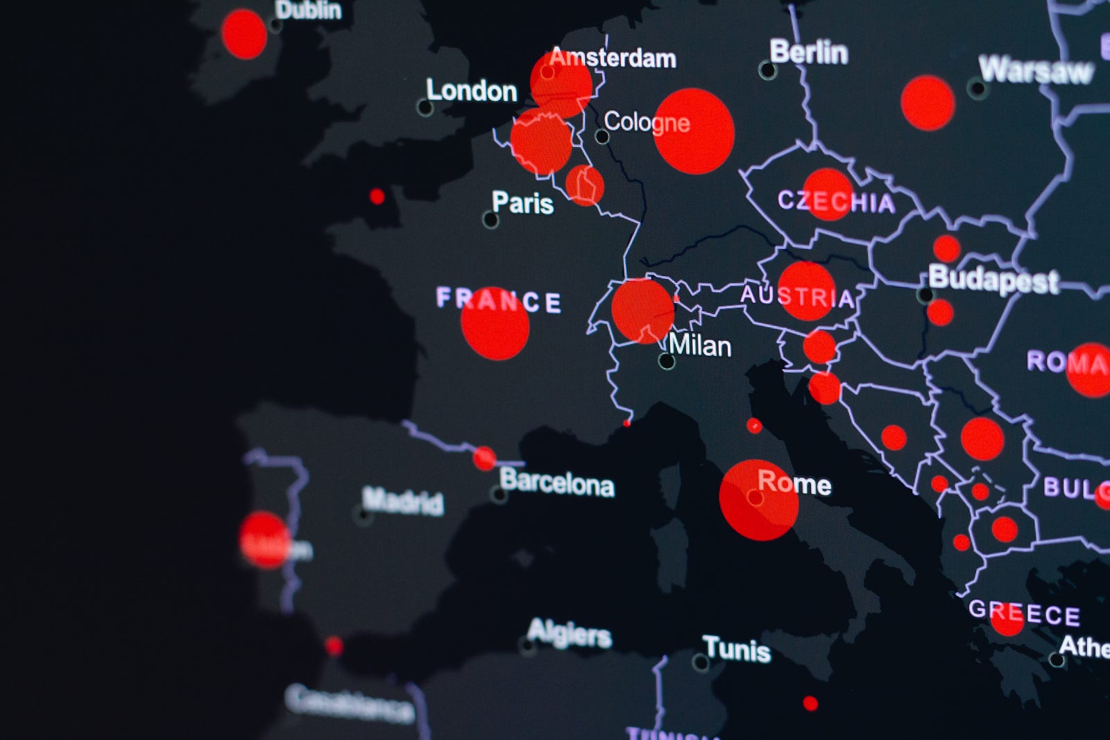
Photo by KOBU Agency on Unsplash
In this blog post, we'll explore how to read and write GPKG (GeoPackage) and GEOJSON (GeoJSON) files using Python and the geopandas library. geopandas is a powerful tool for working with geospatial data in Python, and it makes it easy to read and write GPKG and GEOJSON files. Make sure you have geopandas installed before we get started."
Reading GPKG and GEOJSON files
GPKG and GEOJSON are both file formats for storing geospatial data. GPKG is a binary file format that is used to store geospatial data in a database-like structure, while GEOJSON is a text-based format that represents geospatial data as a collection of nested dictionaries and lists. Both formats are commonly used to store and exchange geospatial data."
import geopandas as gpd

# Read the GEOJSON file\
gdf = gpd.read_file('input.geojson')

# Read the GPKG file\
gdf = gpd.read_file('input.gpkg')
Writing GPKG and GEOJSON files
Explain why you might want to write GPKG and GEOJSON files: "Now that we know how to read GPKG and GEOJSON files, it's time to learn how to write them. There are many reasons why you might want to do this --- for example, you might want to convert your data to a different format to make it easier to work with, or you might want to share your data with someone who uses a different software package. Whatever the reason, it's good to know how to write GPKG and GEOJSON files."
import geopandas as gpd

# Write the GeoDataFrame to a GEOJSON file\
gdf.to_file('output.geojson', driver='GeoJSON')

# Write the GeoDataFrame to a GPKG file\
gdf.to_file('output.gpkg', driver='GPKG')
Now that you have a solid foundation in reading and writing GPKG and GEOJSON files using geopandas, the world is your oyster! There are so many more things you can do with this powerful library -- for example, you can join multiple datasets together, create custom maps, and perform spatial analyses. In the next coming blog, we'll share more about how to perform above mention operation in an effective manner.
Frequently Asked Questions
Common questions about this topic
What are GPKG and GEOJSON file formats?
GPKG (GeoPackage) is a binary file format that stores geospatial data in a database-like structure. GEOJSON (GeoJSON) is a text-based format that represents geospatial data as nested dictionaries and lists.
Which Python library is used to read and write GPKG and GEOJSON in the examples?
The examples use the geopandas library to read and write GPKG and GEOJSON files.
How do you read a GEOJSON file using geopandas?
Use geopandas.read_file with the GEOJSON file path, for example: gdf = gpd.read_file('input.geojson').
How do you read a GPKG file using geopandas?
Use geopandas.read_file with the GPKG file path, for example: gdf = gpd.read_file('input.gpkg').
How do you write a GeoDataFrame to a GEOJSON file using geopandas?
Call the GeoDataFrame's to_file method with the output path and the driver set to 'GeoJSON', for example: gdf.to_file('output.geojson', driver='GeoJSON').
How do you write a GeoDataFrame to a GPKG file using geopandas?
Call the GeoDataFrame's to_file method with the output path and the driver set to 'GPKG', for example: gdf.to_file('output.gpkg', driver='GPKG').
Why might someone convert between GPKG and GEOJSON formats?
Reasons to convert include making data easier to work with in a different workflow or sharing data with someone who uses different software that prefers one format over the other.
POSTS ACROSS THE NETWORK

Bytes and Biases: How Big Data is Building the Social Polarization

From Deep Tech to Mobile: Commercializing Innovation in Colorado

The AI Tools Worth Trying in 2026

Why Traditional Machine Learning Still Matters in the Age of Generative AI

Integration of Generative AI capabilities : Scenario Simulation with Natural Language
